
Atmospheric boundary layer observation platform
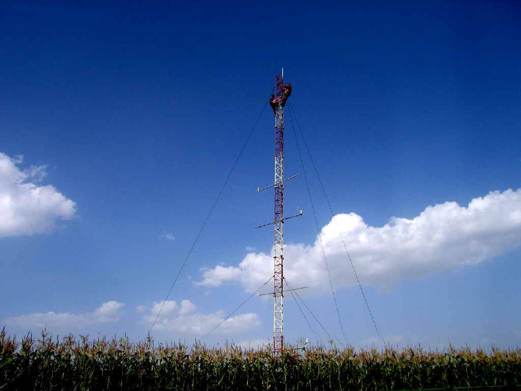
20-m Meteorological tower
The 20-m meteorological tower was built in 2008 to obtain atmospheric temperature, humidity, wind speed, and wind direction at four different levels in the atmospheric boundary layer, surface temperature, photosynthetic available radiation, net radiation, precipitation, soil temperature, soil water content and heat fluxes. The data provide the basis for studies on the processes of land-atmosphere interactions and and its relationship with severe weather occurrence, development and regional climate change. Main monitoring elements include air temperature and humidity (Vaisala HMP45C,1m, 2m, 4m, 8m and 16m), wind speed and direction (Gill two-dimensional ultrasound,1m, 2m, 4m, 8m and 16m), rainfall (R.M.Young 52202,1.5m), soil heat flux (Hukseflux HFP01, depth: 5cm and 20cm), soil temperature (Campbell 107) and soil moisture (Campbell CS616)( depth: 5cm, 10cm, 20cm and 40cm), soil thermal conductivity (TP01, depth: 1cm and 5cm), surface temperature (Apogee si-111), photosynthetic effective radiation (Li-cor LI190SB), solar radiation (Apogee CS300) and atmospheric radiation (Kipp & Zonen CNR1).
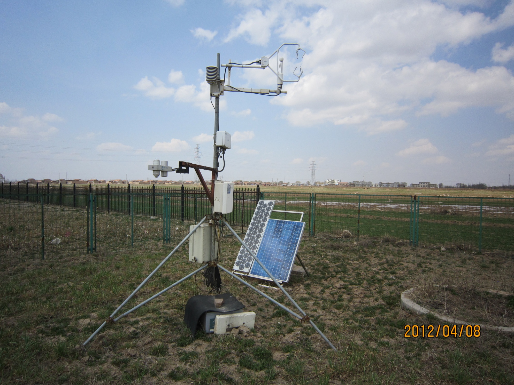
Open path covariance observation system
The covariance observation system is composed of CSAT3 manufactured by Campbell and Li 7500 produced by Li-cor. The sampling frequency is 10 Hz. The observation began in June 2010 with the observation height of 2.95 m. The system is used to obtain energy, water and CO2 flux.
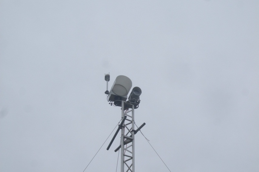
Regional flux observing system
The regional flux observation system is composed of LAS_MkII manufactured by Kipp & Zonen and RPG-MWSC-160.The system was installed in June 2016 and used to monitor the sensible heat and latent heat fluxes in the studied area, obtain information on the water and energy exchanges between land surface and atmosphere, provide data basis for the interaction of various physical quantities of the earth system, the evaluation of the role of terrestrial ecosystem in the energy and water cycle, and provides support for large-scale, long-term and continuous scientific research.
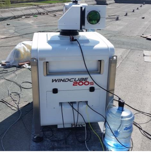
3D Scanning Lidar
The 3D scanning lidar (Windcube 200s) is manufactured by the Leophere. WINDCUBE is an active remote sensor based on Light Detection And Ranging technique. The heterodyne LIDAR principle relies on the measurement of the Doppler shift of laser radiations backscattered by the particles in the air (dust, water droplets, aerosols…).A laser pulse is sent into the atmosphere. The backscattered light is collected, converted into an electronic signal and sent to a computer. A specific signal processing algorithm is used to determine the scattered signal Doppler shift and the wind speeds along the line of sight. The time for the light pulse to travel out to the target and back to the LIDAR is used to determine the range to the target. The instrument is used in airport air traffic optimization, wind energy utilization, pollution source tracking, chemical plant/nuclear power plant pollutant diffusion monitoring, and atmospheric boundary layer dynamics.
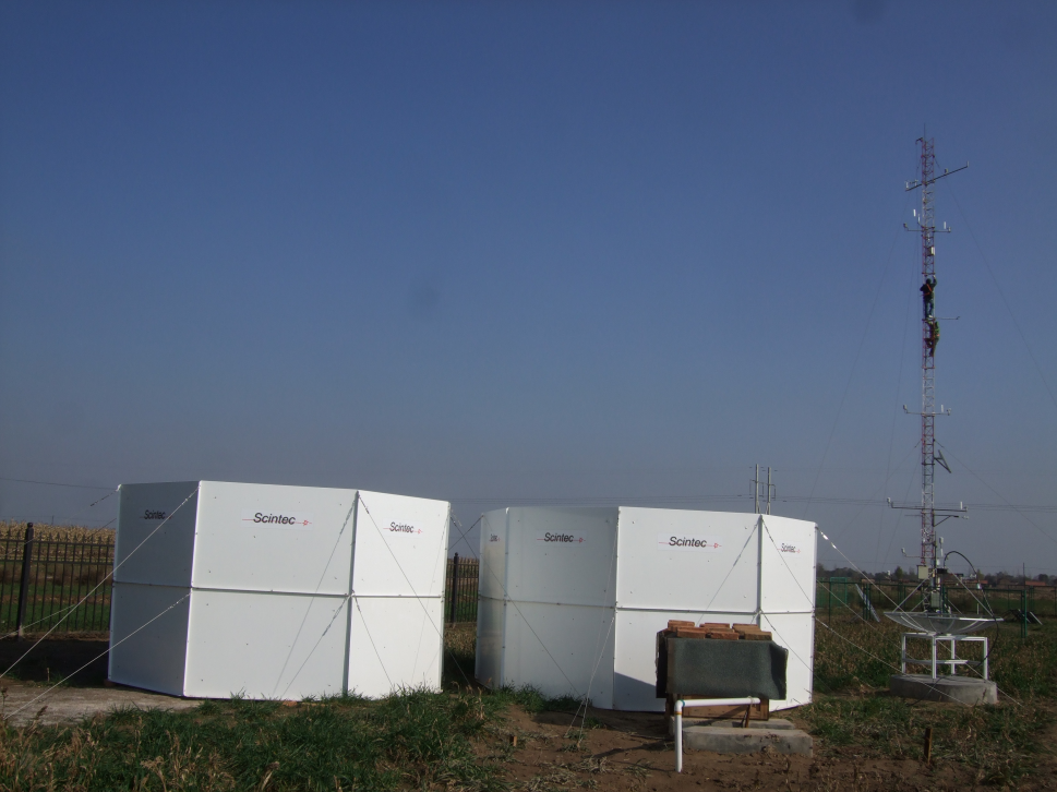
Sodar Wind Profiler(XFAS-RASS)
The Scintec XFAS operates based on the reflection of acoustic pulses at temperature inhomogeneities in the air with subsequent doppler analysis. It is used for the measurement of wind and turbulence within the atmospheric boundary layer.
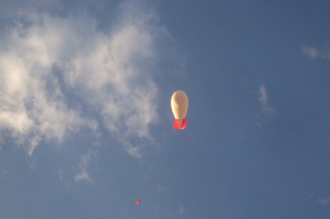
Tethersonde system
The tethersonde system (SmartTetherTM) is used for boundary-layer profiling and near-surface meteorological measurements. One or more flight modules can be deployed on the tether of a blimp, kite, or similar platform. A free PC-based program operates the system, saves data in a file, and can display data in real time. A single ground station is connected to a PC to communicate with the modules.
- Previous: Lightning physics observation platform 2018-10-11
- Next: Atmospheric and ecological environment monitoring platform 2018-10-11
- Experimental study of atmospheric boundary layer process in Qinghai-Tibet plateau 2018-10-11
- Experimental study of atmospheric boundary layer process in Qinghai-Tibet plateau 2018-10-11
- Observation and numerical modeling study of the effect of soil moisture on boundary layer structure and convection initiation over Losses plateau, Eas 2018-10-11
- Observation and numerical modeling study of the effect of soil moisture on boundary layer structure and convection initiation over Losses plateau, Eas 2018-10-11
- Atmospheric and ecological environment monitoring platform 2018-10-11